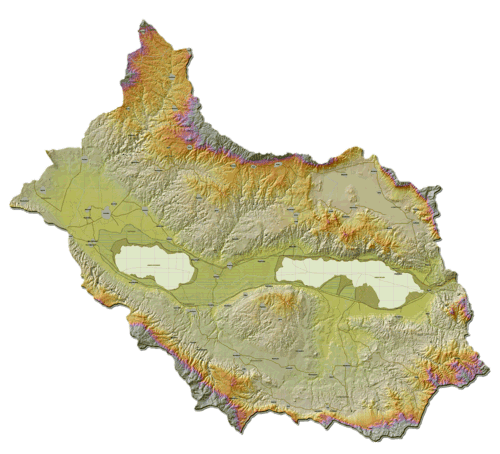
Integration of Geographic Information Systems (GIS) and Satellite Remote Sensing (RS) for watershed

The main problems in watershed management are deforestation and the expansion of agricultural land, which together cause soil erosion and nutrient depletion. Satellite Remote Sensing (RS) and Geographic Information Systems (GIS) are useful tools for watershed management and monitoring.
RS data have been found to provide timely and reliable information for monitoring forest resources and agricultural crops, as long as they are supported by ground data. Obtaining the same information by field surveys would take a long time and considerable human resources.
RS data allows us to see changes in the spatial distribution of various land resources, which is otherwise difficult to keep updated on a national scale. This involved interpretation from digital orthophotos as well as digital image processing of high resolution satellite data, namely SPOT, Landsat TM and World View II data.
Extensive use of the digital terrain model was made for analyzing the complex watershed terrain. And based on the Universal Soil Loss Equation with revised topographic factor, a spatial and temporal analysis of soil erosion was made. This information was then used for developing a sustainable land use plan by considering the soil erosion as the limiting factor for sustainability.


