Once upon a time … in the web - Episode i
Evmolpos company is the technology leader in bringing geographic information systems (GIS) in cloud computing. Evmolpos uses a...

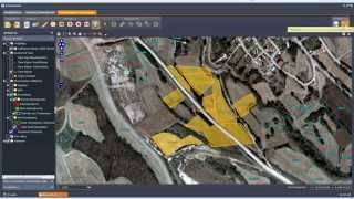
Implementation of Mapserver UMN and effective Open Source Software for spatial management of Land Ex
Geographical data services, via internet, require proper management of spatial and non-spatial data. GIS helps in effective analysis and...

Orthophoto generation using IKONOS imagery and high-resolution DEM. Integration of digital photogram
This project describes a workflow for the DEM extraction from unrectified satellite stereo scenes, its visualization and integration in...

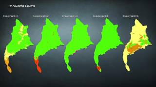
Mce & Fuzzy Modelling of Environmental Suitability for Urban Development of the Kalamata municip
During the last years it has become a common knowledge that urban development is a complicated dynamic process, which involves various...

3D Mine Mapping of Slope Faces using Structure from Motion Photogrammetry.
The Project outlines a revolutionary, low-cost, user-friendly photogrammetric technique for obtaining high-resolution datasets at a range...

Aerial survey and virtual tour using UAV systems.
#DroneMapping #Photogrammetry #evmolpos

Τwo months before…
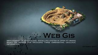
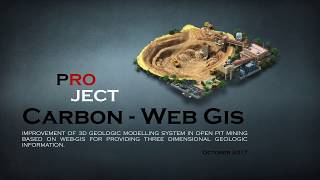
Different innovative systems have been developed and tested in order to prevent a Landslide in lignite open pit mining, in an inexpensive...

Uav airborne remote-sensing technologies for lignite open pit mining…
In mining industry, photogrammetry can be used for stockpile monitoring, orthophoto production, highwall surveying, as well as backup...

Evmolpos - Uav Systems Photogrammetry
Another day in the clouds… #Photogrammetry #Orthophoto

Structure from Motion - part II
Structure from motion (SfM) refers to the process of estimating three-dimensional structures from two-dimensional image sequences which...