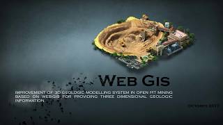
Implementation of Mapserver UMN and effective Open Source Software for spatial management of Land Ex
Geographical data services, via internet, require proper management of spatial and non-spatial data. GIS helps in effective analysis and...

Orthophoto generation using IKONOS imagery and high-resolution DEM. Integration of digital photogram
This project describes a workflow for the DEM extraction from unrectified satellite stereo scenes, its visualization and integration in...